More than a decade after Superstorm Sandy violently reshaped New York Harbor, sending a catastrophic 14-foot storm surge cascading through neighborhoods across the five boroughs, the city’s post-disaster climate adaptation strategy is approaching a major milestone. Massive, multi-billion-dollar infrastructure projects—featuring elevated waterfront parks, heavy-duty berms, and rolling-track flood walls—are slated to become fully operational by the 2027 hurricane season.
Yet, as the physical outlines of these Lower Manhattan defenses take shape, city leaders face an even more daunting challenge: deciding what comes next. New York City encompasses more than 500 miles of diverse, intensely developed coastline. Home to roughly 1 million residents and billions of dollars in commercial and residential real estate, the coastal zone is an intricate patchwork of environments. The marshlands of southern Queens, the public housing blocks of waterfront Brooklyn, and the high-rise corridors of the Financial District are all profoundly vulnerable to rising tides and catastrophic storms, but each faces distinct risks.
With the first wave of post-Sandy construction nearing completion, Mayor Zohran Mamdani’s administration is pivoting from building emergency infrastructure to long-term maintenance and strategic planning. Last month, Mayor Mamdani announced a substantial expansion of the city’s Bureau of Coastal Resilience, injecting nearly 70 new staff positions into a unit that languished under a shoestring budget during the administration of former Mayor Eric Adams.
Despite this renewed institutional focus, city officials face agonizing choices. Protecting all 520 miles of coastline is financially and logistically impossible. As the Department of Environmental Protection (DEP) prepares to draft a comprehensive new master resilience plan targeting a 2031 completion date, city leaders must confront thorny questions of equity, political capital, and prioritization. Deciding which neighborhoods receive structural defenses, which rely on nature-based living shorelines, and which face difficult discussions about managed retreat will define the economic and social future of New York City for generations to come.
Detailed Chronology: From Superstorm Sandy to the 2027 Horizon
To understand New York City’s current positioning on climate adaptation, one must trace the trajectory of its infrastructure policy over the past decade and a half.
The Cataclysm of 2012
In October 2012, Superstorm Sandy served as a rude awakening for municipal leaders. The storm surge overwhelmed coastal defenses, inundating thousands of structures, knocking out power to entire sections of Manhattan and the outer boroughs, and exposing the fragility of the city’s critical infrastructure. The disaster catalyzed one of the most ambitious climate adaptation and engineering efforts in United States history.
The Post-Sandy Buildout (2013–2026)
In the years following Sandy, federal, state, and local entities funneled billions of dollars into coastal protection. The resulting initiatives transformed the urban landscape:
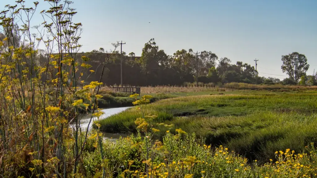
Staten Island Buyouts: The state and city instituted voluntary property buyout programs in chronically flooded, low-lying neighborhoods of Staten Island, returning developed land to natural wetlands that can absorb storm energy.
Queens Beach Restoration: Washed-out beaches and dune systems along the Rockaway peninsula in southern Queens were painstakingly rebuilt and reinforced.
Lower Manhattan Armor: The southern tip of Manhattan—the economic engine of the city—became the focal point for heavy engineering. Projects included integrated flood protection systems, elevated esplanades, and deployable barrier gates.
The Present Transition (Late 2025–2026)
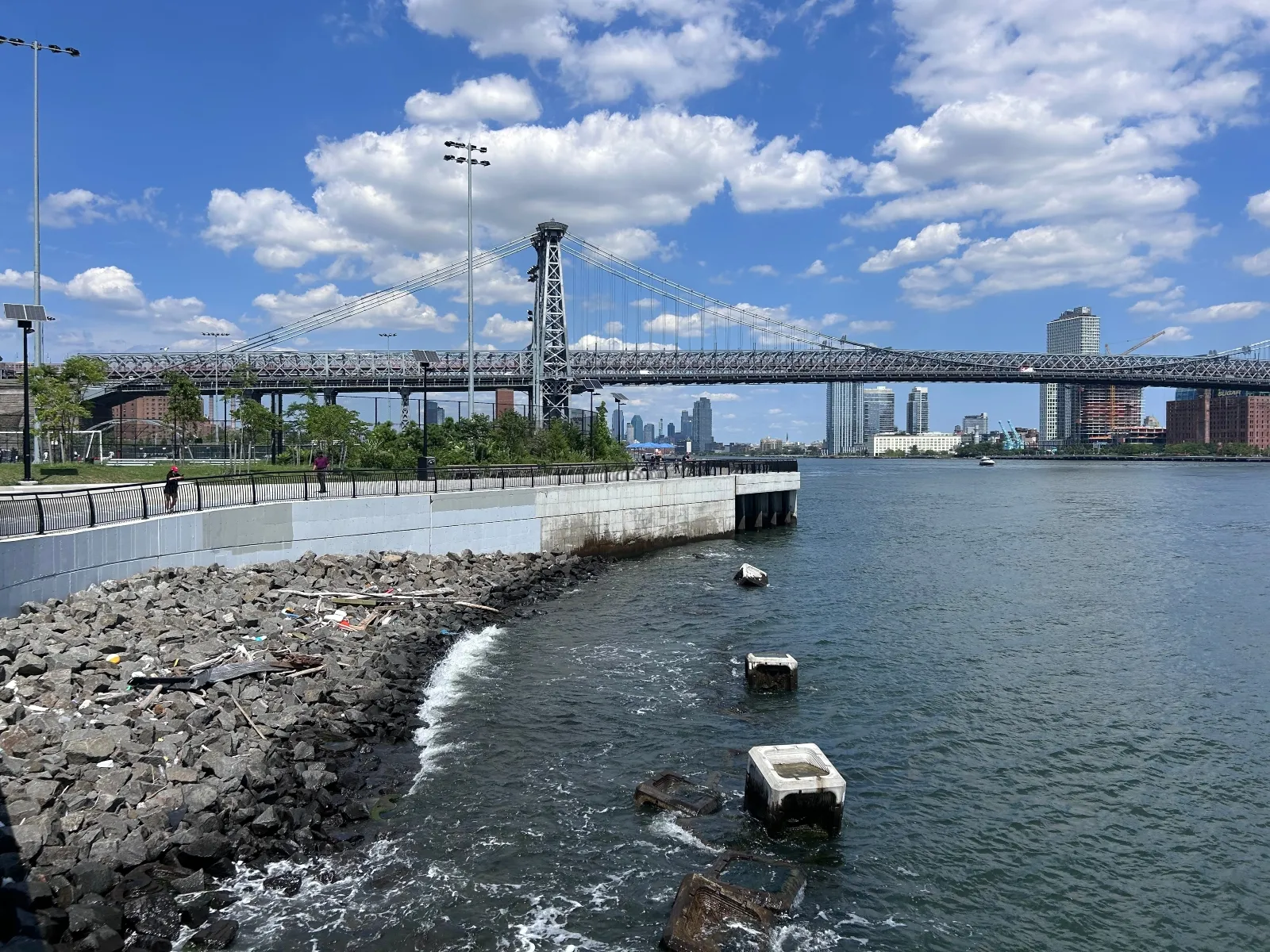
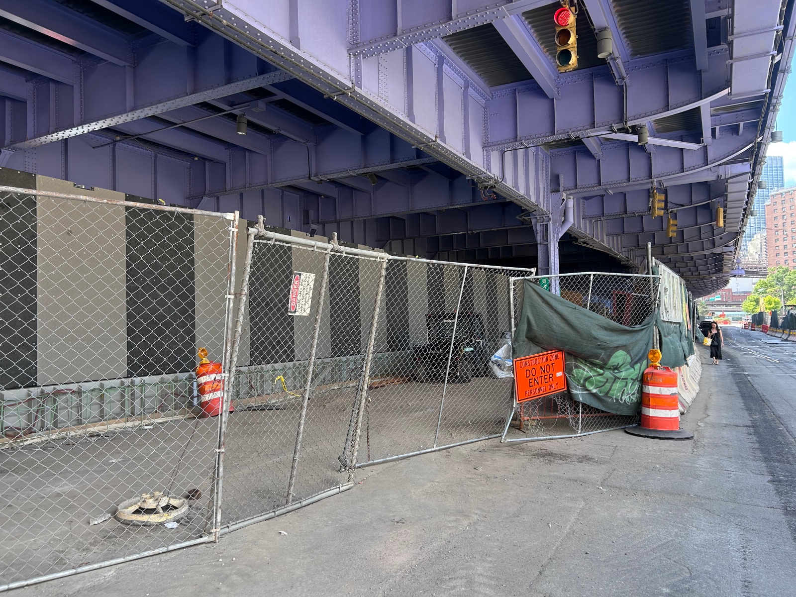
Today, these massive undertakings are nearing the finish line. The newly elevated East River Park in Manhattan now welcomes sunbathers and tennis players on its upper levels while concealing heavy-duty bulkheads below. Farther south, construction crews are putting the finishing touches on rolling-track flood walls beneath elevated highways and near the Brooklyn Bridge.
Simultaneously, the political landscape has shifted. Mayor Zohran Mamdani, who secured victory on a platform centered on economic affordability and outer-borough representation, has signaled a departure from previous administrative priorities. Last month, Mamdani announced the expansion of the Bureau of Coastal Resilience, reversing years of underfunding and equipping the city to properly operate and maintain the multi-billion-dollar infrastructure currently coming online.
Supporting Context & Metrics: The Anatomy of Vulnerability
New York City’s coastal geography defies a one-size-fits-all approach. The city’s 500-plus miles of shoreline encompass wildly contrasting typologies, meaning that a flood mitigation strategy effective in the Financial District may prove entirely unsuited for the Rockaways or the industrial waterfront of the Bronx.
Economic Stakes and Population Density
Approximately 1 million New Yorkers live within the designated coastal flood zone. This zone contains staggering amounts of real estate wealth, critical transportation hubs, energy grids, and telecommunications networks. A failure to protect these assets threatens not only local communities but the national and global economy.
The Patchwork Dilemma
Because post-Sandy funding and planning were frequently reactive and tied to specific neighborhood grants, the city’s current defenses resemble a disjointed patchwork. This approach has led to friction between wealthy districts and historically underserved communities:
Coney Island: Despite being among the hardest-hit areas during Superstorm Sandy, western Coney Island has seen little to no public infrastructure investment. Residents routinely suffer from "backdoor flooding"—where heavy rains coincide with high tides, pushing water up through creeks and overwhelmed drainage systems, preventing children from safely walking to school. While private real estate development has boomed, public flood defenses have lagged, though the city is now holding community meetings to address local creek vulnerabilities.
Red Hook: Ground was broken late last year on a flood resilience project in this vulnerable Brooklyn neighborhood. However, local activists and residents have criticized the design as inadequate because it protects only against "10-year storms" (events with a 10% annual probability) rather than the "100-year storms" safeguarded by Lower Manhattan projects. City officials have cited urban density, local topography, and privately owned waterfront property as barriers to constructing a Manhattan-style barrier here.
Greenpoint: In this gentrifying northern Brooklyn neighborhood, developers of a massive 1,300-home apartment complex are proposing steel bulkheads to protect private towers. Local activists have raised alarms, arguing that these localized bulkheads will simply deflect floodwaters onto neighboring properties.
Budgetary and Design Realities
Many visionary plans drafted years ago remain unbuilt due to severe capital constraints. For instance, a comprehensive vision plan for East Harlem—designed in collaboration with architecture firm One Architecture to drain pooling stormwater and elevate riverfront esplanades—has sat on the shelf for nearly a decade for lack of funding. Similarly, proposed coastal adaptation projects in the Hunts Point neighborhood of the Bronx were scaled down due to budget shortfalls, pivoting away from physical barriers toward an off-grid backup power system for the area’s vital regional food depot.
Official Statements & Stakeholder Perspectives
As the city drafts its upcoming master resilience plan—slated to begin next year and conclude by 2031—city leaders and community advocates are openly debating the future of New York’s adaptation framework.
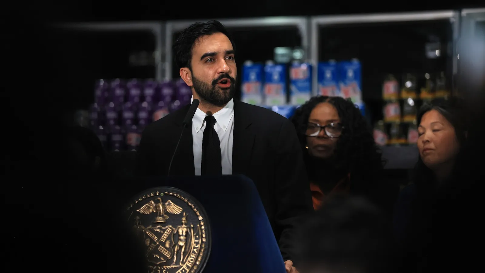
Lisa Garcia, commissioner of the New York City Department of Environmental Protection (DEP), which oversees the city’s newly expanded flood management systems, emphasizes the monumental challenge of maintenance and strategic triage.
"There was this huge investment of over a billion dollars to build these gates, and once you build it, you have to maintain it," Garcia noted. Regarding the impossibility of armoring the entire shoreline, she added: "I don’t think that there’s anyone who is saying we can protect all 520 miles of coastline. So part of it is this… What lessons can we take to other boroughs or to other communities?"
Garcia notes that the upcoming DEP master plan will take a holistic view, analyzing both traditional coastal storm surge and inland stormwater flooding, which has increasingly plagued basement apartments and subway infrastructure during intense rain events.
Community advocates, however, point to deep historical inequities in how capital funds have been distributed. Pamela Pettyjohn, founder of the Coney Island Beautification Project, sharply criticized the disparity in municipal investment:
"After Sandy, neighborhoods in Manhattan had millions and millions of dollars invested. There hasn’t been any investment at all in Coney Island other than development—a lot of new development, new buildings, but nothing for the infrastructure."
Architectural and planning experts emphasize the necessity of systemic integration over isolated fixes. Matthijs Bouw, an architect with One Architecture who helped conceive the Lower Manhattan coastal barrier and has worked on plans for East Harlem, warns against piecemeal development:
"You can’t build this stuff in isolation; you need to find a way to make sure that you align whatever you design with the way the city changes over time."
Amy Chester, director of Rebuild by Design, underscores the sobering reality of municipal budgeting: "We can plan for it, but it’s all about priorities."
Future Outlook: Tough Choices on the Horizon for Mayor Mamdani
As Mayor Zohran Mamdani’s administration looks past the 2027 hurricane season—when the current suite of flood gates and walls becomes fully operational—the defining challenge of his tenure will be establishing a cohesive, equitable long-term adaptation strategy.
The Threat Matrix Beyond Storm Surge
While sea level rise and tropical storm surges present an existential threat to the city’s economic core, New York faces a multi-pronged climate crisis. Extreme heat waves, wildfire smoke events from distant forests, and intense inland flash floods pose severe, compounding dangers. The DEP’s upcoming master plan must reconcile these competing hazards within a constrained capital budget.
Navigating the Politics of Triage
Deciding where to invest next carries immense political and economic hazards. Cities across the United States are grappling with similar dilemmas. In Norfolk, Virginia, municipal officials adopted a controversial master resilience plan that deliberately declined to build structural flood protections in high-risk, low-property-value zones ("yellow zones"), opting instead to support resident relocation or adaptation in place. In states like California and North Carolina, state and local efforts to promote "managed retreat"—moving communities out of harm’s way—have met fierce resistance from residents fiercely protective of their homes and property values.
For Mayor Mamdani, whose political coalition relies heavily on working-class and lower-middle-class residents in the outer boroughs, these choices are fraught with tension. Lower Manhattan was a logical first choice for post-Sandy investment because it safeguarded both a global financial capital and a dense concentration of public housing. Replicating that level of heavy engineering across every vulnerable stretch of Brooklyn, Queens, the Bronx, and Staten Island is financially unfeasible.
Toward a 2031 Vision
Over the next few years, the Mamdani administration, steered by DEP Commissioner Garcia and the newly reinforced Bureau of Coastal Resilience, must forge a path that balances hard engineering with nature-based solutions—such as wetland restoration, living shorelines, and upgraded urban drainage—while engaging in difficult, honest conversations with communities about long-term risk.
The window to future-proof New York City is narrowing. How the administration allocates its resources in the post-2027 era will determine whether the city remains a global beacon of urban resilience or falls victim to the relentless advance of the sea.