

Executive Overview
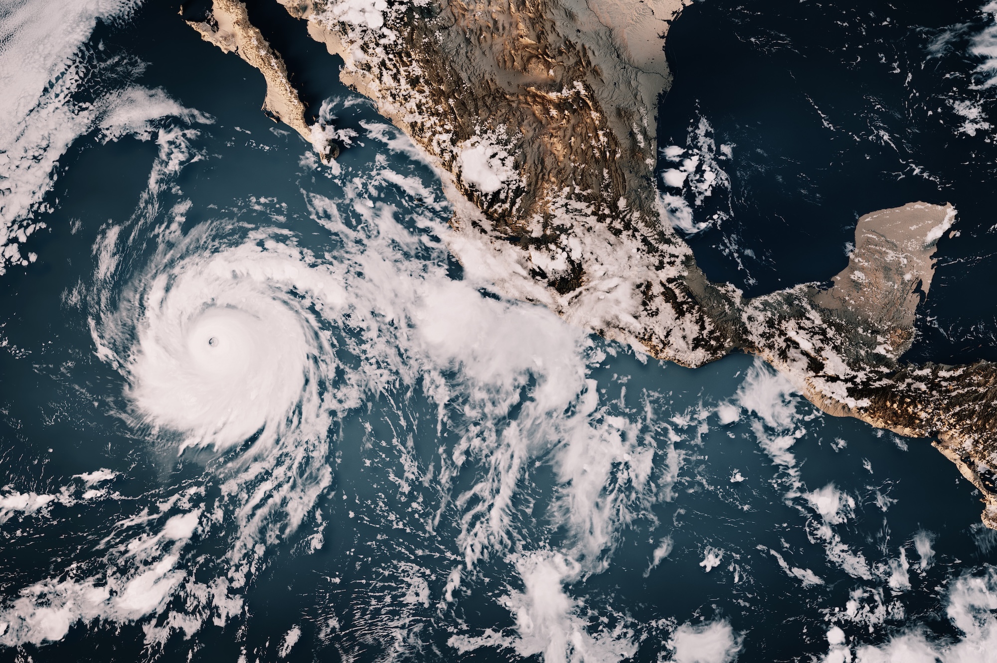
As the world grapples with escalating environmental turbulence, a new and alarming climate phenomenon is dominating global scientific discussions and emergency response rooms alike. The current El Niño cycle—characterized by a dramatic disruption of Pacific Ocean trade winds—has evolved into what climatologists and researchers are colloquially, yet gravely, calling a "Super El Niño."
Exceeding even the most severe projections, sea surface temperature anomalies in the equatorial Pacific have shattered historical benchmarks, surging to 3.11 degrees Celsius above normal in the critical Niño 3.4 region. This shatters the previous record set during the infamous 2015 event and pushes global weather systems into uncharted territory.
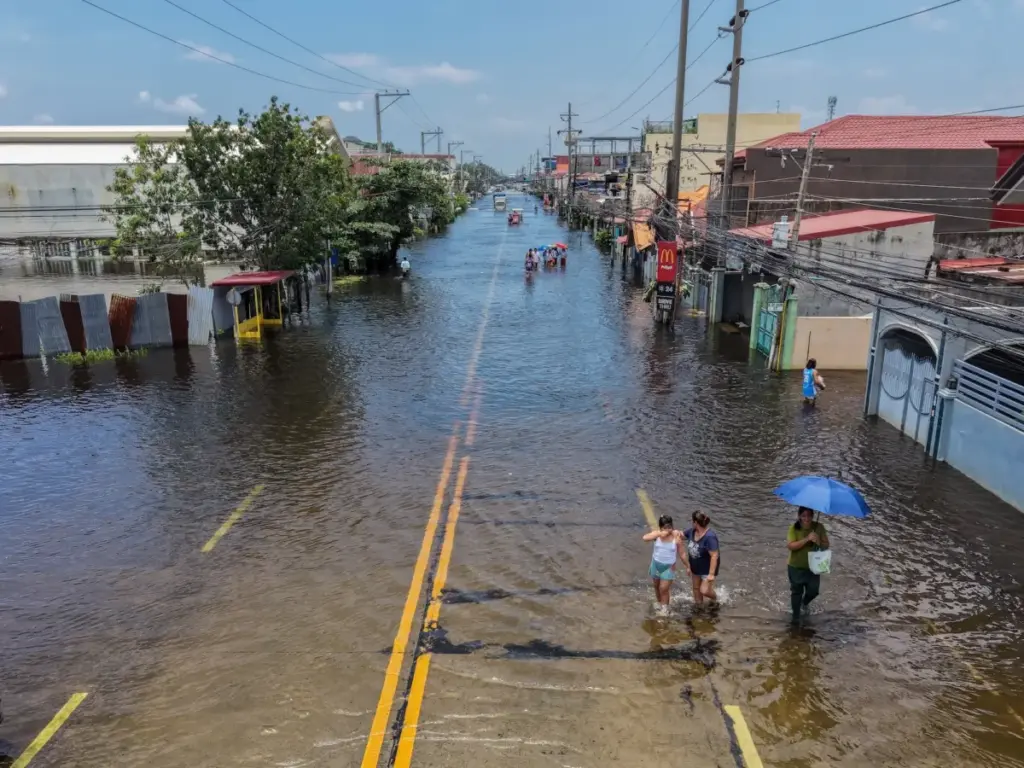
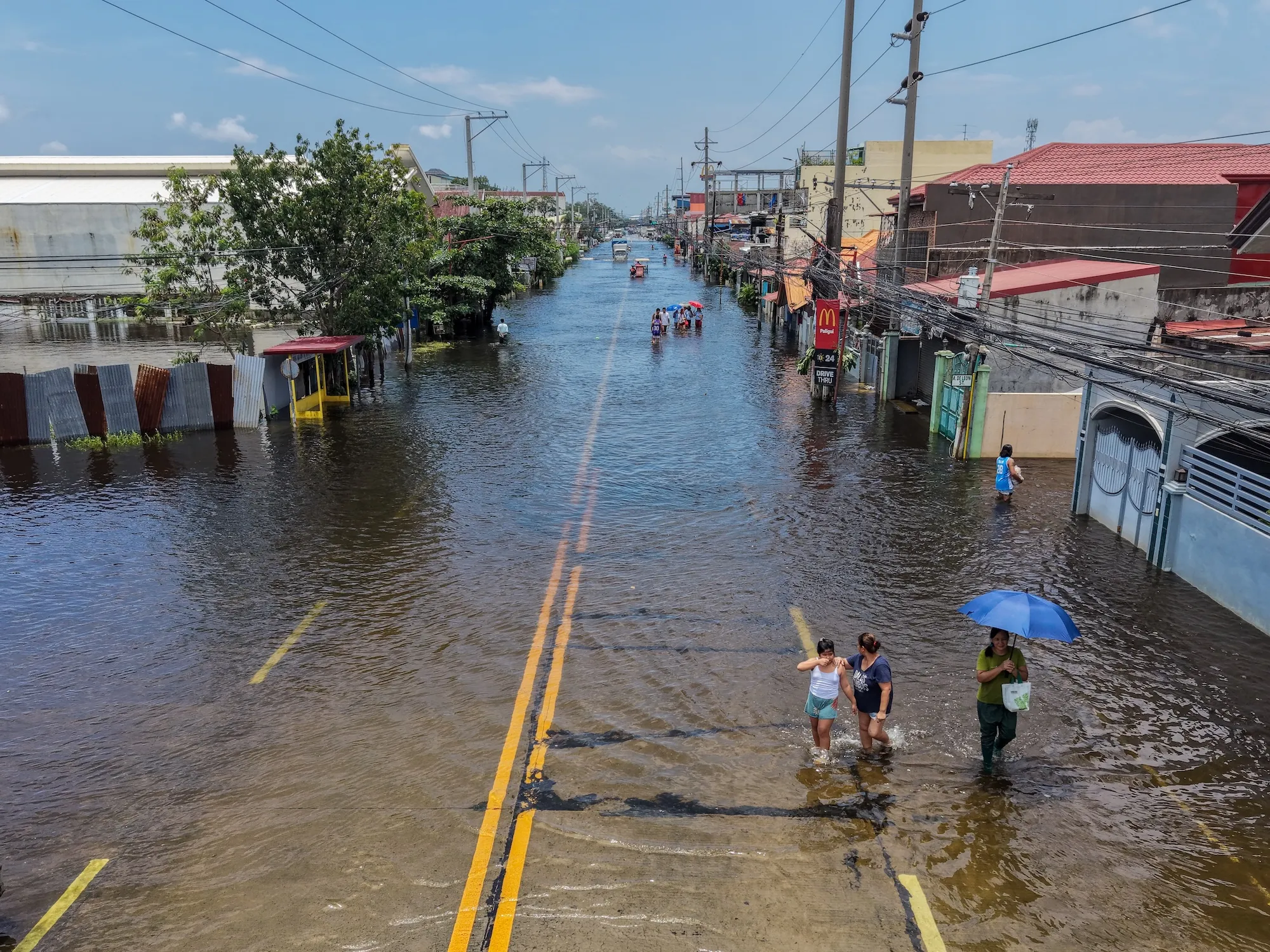
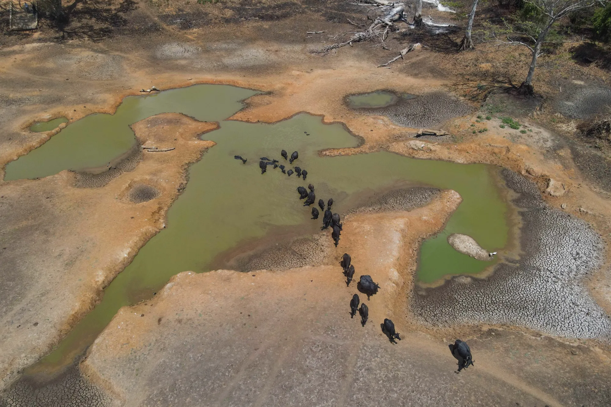
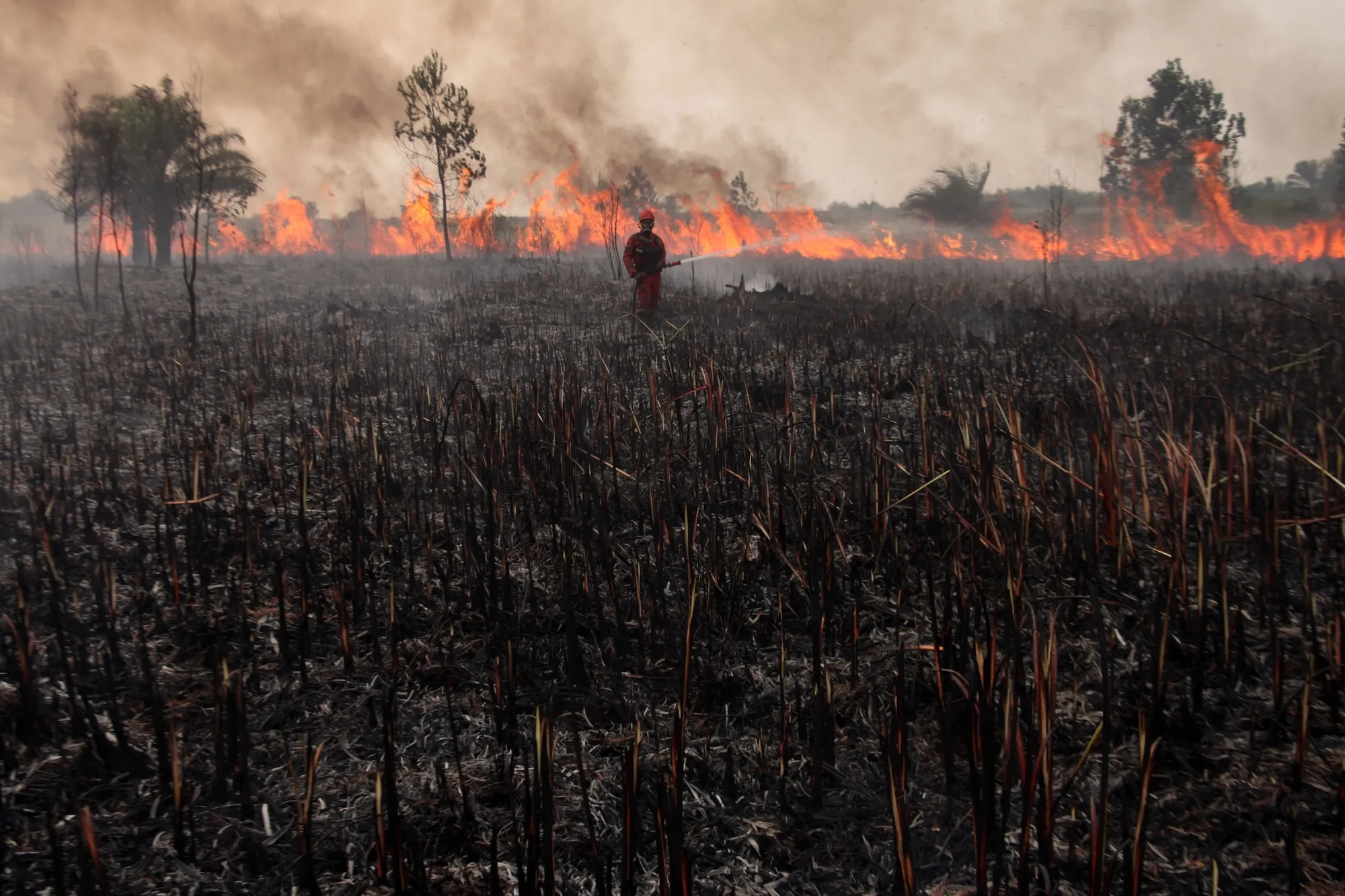
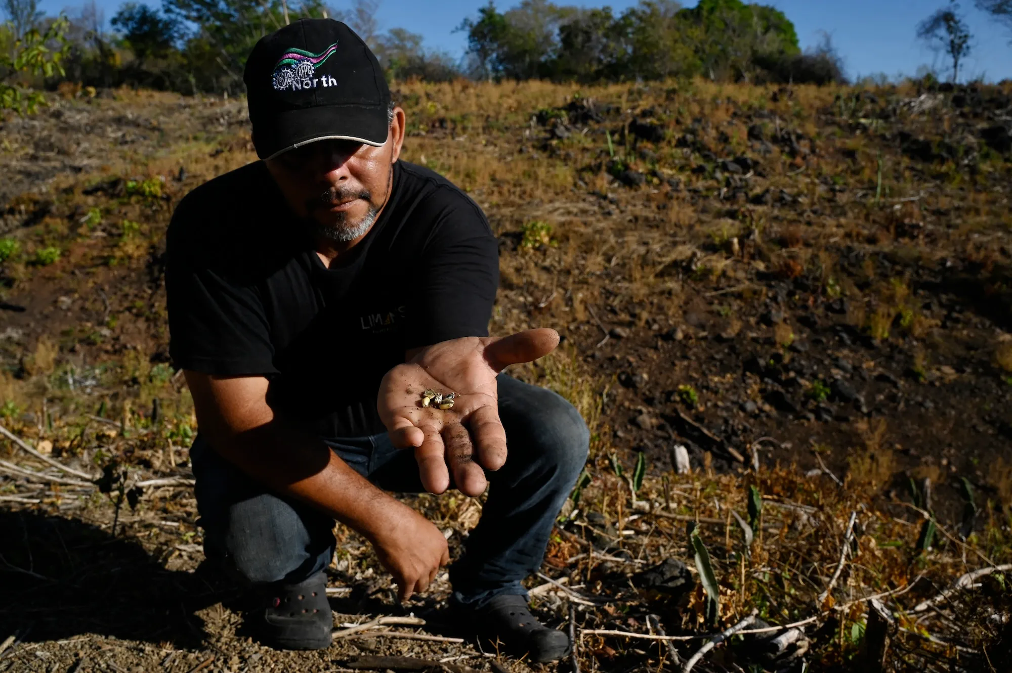
The consequences of this amplified climatic shift are already rippling across the globe. From California declaring a statewide state of emergency to combat anticipated severe flooding, coastal erosion, and infrastructure strain, to devastating droughts crippling agricultural yields in Central America and catastrophic wildfires sweeping through Indonesia, the planetary impacts are immediate and profound. Moreover, public health experts warn that the compounding pressures of severe heatwaves and disrupted weather patterns could lead to hundreds of thousands of additional heat-related deaths worldwide by early next year.
Operating against a backdrop of rapid, unabated global heating driven by fossil fuel combustion, this Super El Niño acts as a terrifying preview of Earth’s mid-century climate reality. It compresses decades of projected temperature increases into a matter of months, forcing scientists, policymakers, and communities to confront an urgent question: How do we communicate, prepare for, and survive a rapidly accelerating climate crisis when our traditional meteorological vocabulary—and our infrastructure—are no longer adequate?
Detailed Chronology: From Pacific Warmth to Global Disruption
To understand the severity of the current crisis, one must trace the chronological escalation of the Pacific Ocean anomalies that set this monumental weather pattern into motion.
- Early 2026: Climatologists observing anomalous sub-surface sea temperatures in the equatorial Pacific begin to notice deviations that outpace standard forecasting models. Early whispers of a "Super El Niño" circulate in research communities, initially greeted with academic skepticism regarding whether the informal moniker is merely media sensationalism.
- June – August 2026: The planet records the warmest three-month stretch of sea surface temperatures in recorded human history. Forecast models update rapidly, revealing a staggering 90 percent probability that the developing El Niño will sustain "very strong" intensity straight through the end of the calendar year.
- September 2026: Data finalized by climate analytics groups reveals that warming in the Niño 3.4 region has rocketed to an unprecedented 3.11 degrees Celsius. Official records from the historic November 2015 peak are officially eclipsed.
- Mid-September 2026: Ground-level impacts manifest globally. In Indonesia, aggressive wildfires tear through parched brushlands. In Honduras, farmers unearth failed, un-germinated corn kernels amidst historic multi-year droughts. Concurrently, southern California officials deal with severe coastal erosion as heavy storm swells batter shoreline properties.
- Late September 2026: Recognizing the compounding threats of torrential downpours, flash floods, and infrastructure failures, California Governor Gavin Newsom formally proclaims a statewide state of emergency to bolster preparedness. Concurrently, international researchers publish alarming mortality projections estimating up to 451,000 extra heat-related deaths globally by February.
Supporting Context & Metrics: Decoding the "Super" Phenomenon
The terminology surrounding El Niño is rooted in decades of meteorological science, but the metrics defining the current event have forced experts to re-evaluate how they measure atmospheric and oceanic fury.
What is El Niño?
El Niño is a naturally occurring, periodic climate phenomenon characterized by the warming of sea surface temperatures across the central and eastern tropical Pacific Ocean. Normally, robust trade winds blow from east to west along the equator, pushing warm surface water toward Asia and Australia while pulling up cooler, nutrient-rich deep water along the coast of South America (a process known as upwelling).
During an El Niño year, these trade winds weaken significantly or occasionally reverse direction entirely. This allows the vast pool of accumulated warm water in the western Pacific to "slosh" back toward the Americas. The resulting shift in heat distribution disrupts the jet stream, altering precipitation, wind, and temperature patterns across every continent.
The Metrics of Magnitude
To gauge the strength of an El Niño, meteorologists rely heavily on the Niño 3.4 anomaly index, tracking sea surface temperature deviations within a specific rectangular band of the central Pacific.
- 0.5°C above normal: Baseline threshold for an official El Niño declaration.
- 1.0°C above normal: Classified as "Moderate."
- 1.5°C above normal: Classified as "Strong."
- 2.0°C above normal: Classified as "Very Strong."
When temperatures breach the 2-degree mark, researchers historically categorized the event as exceptionally severe. However, with the current anomaly hitting 3.11 degrees Celsius, the event has far outstripped standard classifications. This extreme departure explains why scientists have leaned into the colloquial "Super El Niño" label—and why high-end estimates suggest this cycle could artificially fast-forward global mean temperatures to levels not otherwise expected until the 2040s.
Official Statements and Expert Perspectives
The psychological and linguistic challenge of describing this event is nearly as daunting as the physical threats it poses. Experts from across disciplines have weighed in on what this anomaly means for humanity’s future.
Jeffrey Shaman, a climatologist at Columbia Climate School, admitted his initial reaction to the buzzword: "I literally googled it earlier this year." While noting that terms like "Super El Niño" do not officially appear in the lexicon of the National Oceanic and Atmospheric Administration (NOAA) or the World Meteorological Organization (WMO), Shaman defends their pragmatic utility. "It’s colloquial, and there’s nothing wrong with that at all. When you are trying to communicate the significance of an unprecedented event to the general public, clear, impactful communication is essential."
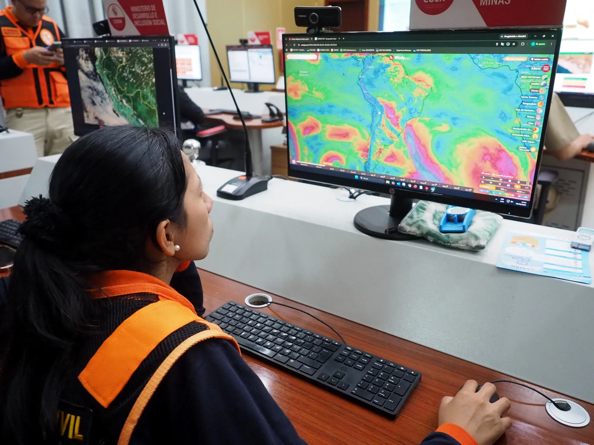
Christopher Callahan, a climate scientist at Indiana University, voiced the shifting consensus within the scientific community as empirical data poured in. "I was a little bit skeptical earlier this year of some of the more dire predictions," Callahan noted. "But as more data kept coming in, it became clear that we’re going to see a generationally strong event this year… It’s going to be a very, very strong event occurring against a backdrop of very rapid global warming. I think we’re unfortunately going to learn a lot this year."
The linguistics of crisis have similarly captivated researchers like Jo Vurdelja, an ecolinguistics researcher in Serbia. Tracing the origin of the phrase "Super El Niño" to a 2003 meteorological paper, Vurdelja highlights the tightrope researchers walk when naming disasters. "Finding the right word to match that danger is like trying to find the right shoe size," she explains. Language can minimize a threat, or it can lean into hyperbole, breeding desensitization and climate nihilism. Yet, she argues that "Super" strikes the right chord because it was organically adopted by both hard scientists and international journalists.
As anomalies push boundaries further, however, even "super" may become obsolete. Climate scientist Zeke Hausfather noted in a recent podcast interview: "This is going to be so far beyond a super El Niño, if the models are right, that we sort of need a new term for it." Hausfather is famous for coining phrases like "gobsmackingly bananas" to describe planetary heat anomalies, reflecting a growing desperation among scientists for language capable of capturing systemic breakdown.
Future Outlook: Living on the Edge of a New Climate Regime
As the northern hemisphere transitions into winter—the historical peak window for El Niño intensity—the immediate outlook demands absolute vigilance. Governments, agricultural syndicates, and emergency management agencies are on high alert. The multi-faceted threats span critical sectors of modern society:
- Food Security & Agriculture: Severe droughts across parts of Latin America, Africa, and Asia threaten staple crop yields, raising specters of localized food shortages and volatile global commodity prices. Conversely, torrential rains threaten to rot crops in other vital breadbaskets.
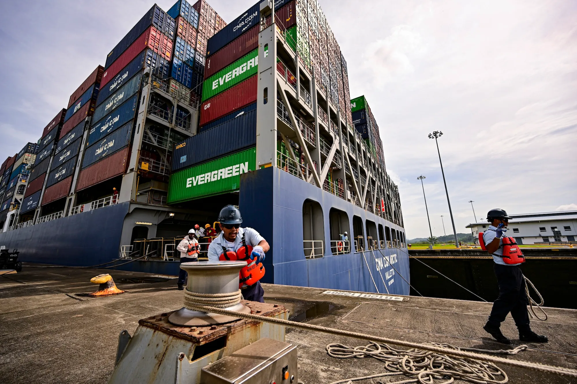
- Infrastructure & Energy: Reduced water levels in critical trade corridors like the Panama Canal threaten global supply chain efficiency, while altered precipitation patterns challenge hydropower generation capacity in regions dependent on consistent river flows.
- Public Health: With researchers projecting hundreds of thousands of heat-attributable deaths, urban centers must rapidly scale up cooling centers, heat-health action plans, and protective labor regulations for outdoor workers.
Ultimately, this Super El Niño serves a dual purpose: it is both an immediate humanitarian crisis and an ominous diagnostic test for the planet. It pulls back the curtain on a destabilized climate system operating under the relentless pressure of greenhouse gas emissions.
Whether the world treats this event as a transient weather anomaly or as a definitive wake-up call to alter its energetic trajectory remains to be seen. But one reality is indisputable: as Earth’s baseline temperature continues to climb, the extreme weather patterns of today are merely the baseline normal of tomorrow.



