

Originally published by The Guardian • Reproduced as part of the Climate Desk collaboration
Executive Overview
In the waning days of August 2026, the majestic and rugged landscapes of the Grand Canyon National Park served as the stage for a natural disaster that laid bare the terrifying convergence of modern climate volatility. A violent, fast-moving flash flood tore through the heavily trafficked Bright Angel Creek area, leaving a trail of destruction that underscores the mounting vulnerabilities of America’s premier public lands.
The weekend deluge claimed at least two lives, triggered massive search-and-rescue operations that saved nearly 80 stranded visitors, and left at least one individual unaccounted for as emergency crews battled treacherous conditions to reach isolated pockets of the canyon.
While the American Southwest is intimately familiar with the seasonal fury of summer monsoons, last weekend’s catastrophe was far from a routine weather event. Environmental scientists, hydrologists, and federal disaster assessors point to a complex web of compounding factors that supercharged the storm. The disaster was fueled by a deadly collision of historic drought, the lasting ecological scars of the catastrophic 2025 Dragon Bravo wildfire, and unprecedented atmospheric moisture pumped ashore by a record-shattering El Niño cycle.
As global temperatures continue to rise, experts warn that these "compound extremes"—where multiple environmental stressors overlap to multiply a hazard’s destructive potential—are becoming the new normal. The Grand Canyon tragedy offers a sobering preview of how climate change is testing the physical limits of infrastructure, emergency response, and visitor safety across the American West.
Detailed Chronology: The Weekend Torrent
The atmospheric setup for the disaster began forming late in the week, as heavy monsoonal moisture gathered over the arid expanses of northern Arizona. However, the transformation from a standard seasonal thunderstorm into a charging, wall-like torrent occurred with terrifying speed on Saturday, August 30, 2026.
According to accounts from park officials and traumatized survivors, the storm hit with little advance warning. Clear morning skies and typical summer heat gave way with shocking swiftness to dark, towering cumulonimbus clouds. Torrential downpours concentrated their fury directly over the upper reaches of the Bright Angel Creek watershed—a steep, vertical labyrinth of stone that acts as a natural funnel for falling water.
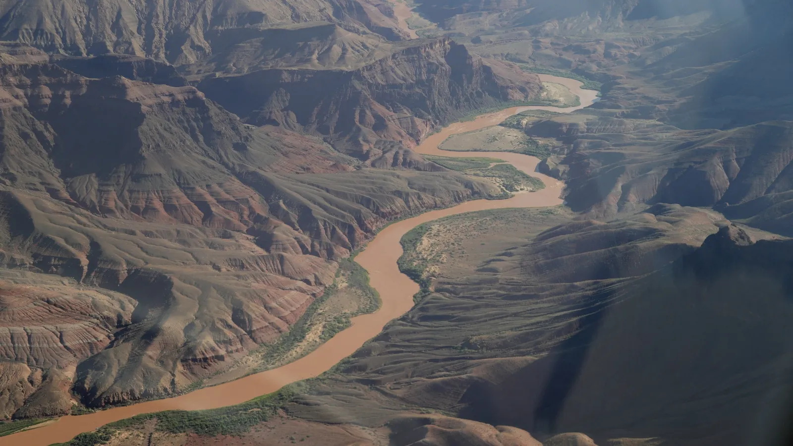
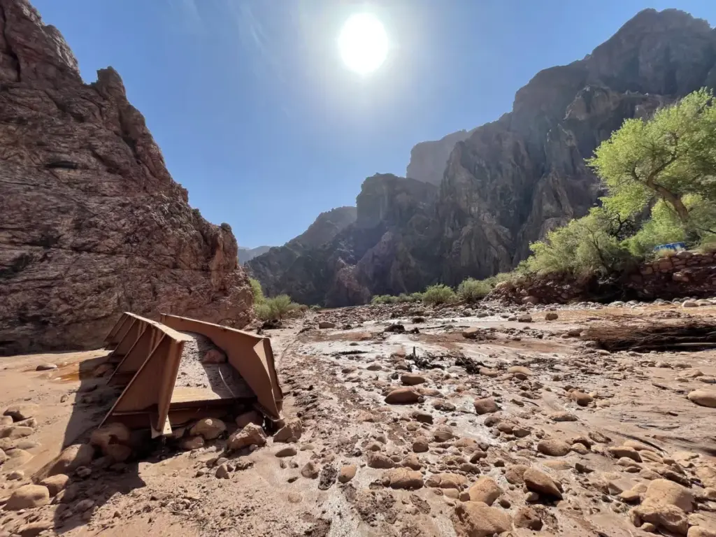
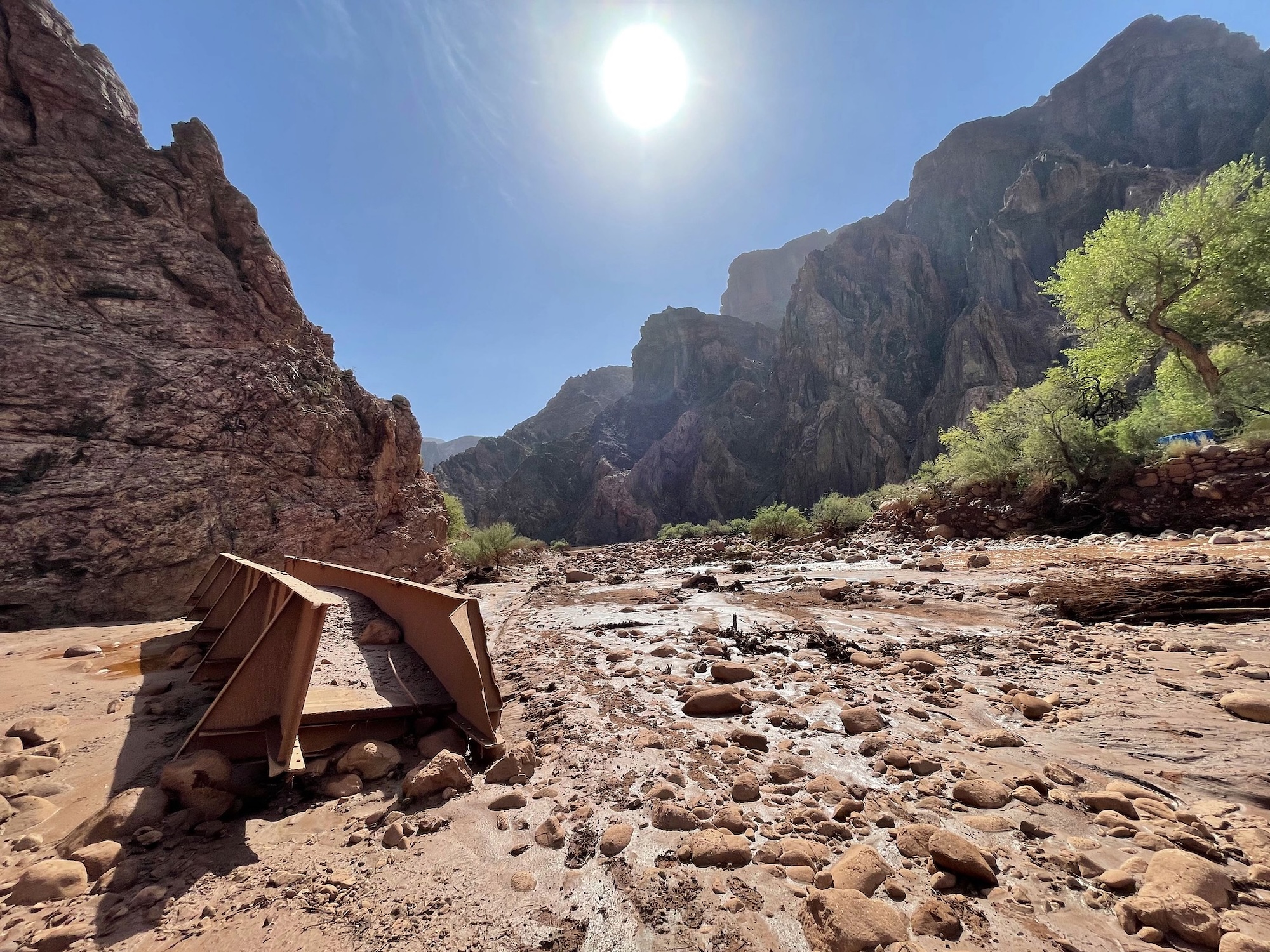
As billions of gallons of rainwater slammed into the canyon walls, the landscape failed to absorb the sudden deluge. Instead, the water rushed downward at breakneck speeds, sweeping up loose sediment, ash, boulders, and uprooted trees. Hikers along the iconic trail systems suddenly found themselves cut off as bridges and boardwalks were swallowed by the rising tide.
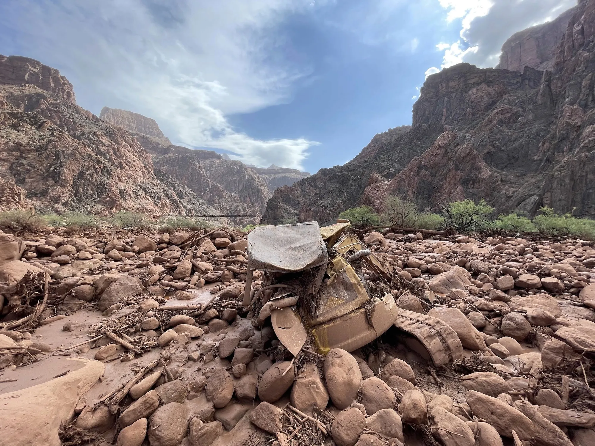
Eyewitnesses interviewed by regional media outlets described a surreal and terrifying scene: the normally clear waters of the creek rapidly mutated into a thick, pitch-black sludge that surged through narrow rock formations with deafening force. Vehicles parked near operational hubs were swamped in feet of heavy mud, while back-country campers and hikers scrambled frantically for high ground.
The National Park Service, alongside regional emergency services, launched an immediate multi-agency rescue response. Helicopters braved hazardous, turbulent wind conditions to pluck stranded tourists from precarious perches along the canyon walls and damaged trail segments. By Sunday morning, nearly 80 people had been successfully evacuated to safety. Yet, the grim reality of the flash flood soon emerged as recovery teams confirmed two fatalities, alongside ongoing search efforts for at least one individual still missing beneath layers of heavy debris.
Supporting Context & Metrics: The Anatomy of a Compound Disaster
To understand why Saturday’s storm proved so uniquely catastrophic, scientists must look beyond the immediate rainfall totals and examine the historical and meteorological backdrop of the region. The disaster is a textbook case of a compound extreme event, driven by three distinct pillars of environmental vulnerability:
1. The Shadow of the Dragon Bravo Fire
The path of Saturday’s deluge directly intersected the burn scar of the Dragon Bravo wildfire—a massive, destructive blaze that scorched nearly 150,000 acres and consumed the historic Grand Canyon Lodge in July 2025.
When a wildfire sweeps through a landscape of this scale, it fundamentally alters the soil chemistry and hydrology. High-intensity fires often create a hydrophobic (water-repellent) layer in the soil, while simultaneously stripping away the canopy and root systems that would otherwise anchor the earth and slow down precipitation runoff.
In the wake of the Dragon Bravo fire, federal models and BAER (Burned Area Emergency Response) teams from the Department of the Interior issued severe warnings. Assessments predicted that runoff risks in the Bright Angel Creek watershed would spike between two and eight times above pre-fire baselines.
"Hikers on the trails within or downslope from the burned area will experience frequent stabilization issues, especially hazardous rockfall for at least the first year," the interagency team warned in its post-fire safety report. Park officials went into the summer season acutely aware that even moderate monsoonal storms could trigger severe debris flows across these barren, destabilized slopes.
2. Chronic Drought and Hardened Terrain
Compounding the post-fire vulnerabilities is the multi-decadal megadrought gripping the Colorado River basin and the broader Grand Canyon region. Prolonged dry spells bake desert soils into cement-like density. When sudden, heavy rains finally arrive, parched earth is largely incapable of absorbing moisture rapidly. Instead of sinking into the water table, rainwater instantly sheet-flows across the hardpack, transforming gentle trickles into violent, high-velocity flash floods.
3. The Supercharging Effect of a Historic El Niño
While local land conditions set the stage, global climate dynamics provided the match. The intense rainstorm was supercharged by a historic El Niño cycle currently driving record-breaking sea surface temperatures across the Pacific Ocean.
According to Park Williams, a hydroclimatologist at the University of California, Los Angeles, El Niño dramatically increases the total column of water vapor suspended in the atmosphere. When these moisture-laden air masses drift over the rugged topography of the American Southwest, they are wrung out with exceptional violence, producing rainfall totals far exceeding historical averages.
This natural cyclical phenomenon is now interacting with long-term, human-caused global warming. Global ocean temperatures reached record highs in August 2026, providing an additional thermal engine for extreme weather systems worldwide.
Official Statements and Scientific Consensus
The scientific community views the Grand Canyon tragedy not as an isolated anomaly, but as part of a worsening global trend driven by anthropogenic climate change.
Daniel Swain, a climate scientist at the California Institute for Water Resources, notes that the link between human-induced warming and the increasingly heavy downpours punishing Arizona is moderately strong. Swain points to recent research published in the journal Weather and Climate Extremes, co-authored by his team, which reveals a stark statistical shift: short-term, intense summer downpours across the American West have grown approximately 10% stronger since the year 2000.
"As temperatures continue to climb, extreme events will not just increase in frequency—they are increasingly likely to overlap," climate researchers have repeatedly warned. When multi-year droughts, massive wildfire burn scars, and supercharged atmospheric rivers intersect, they create compound disasters that consistently outpace historical risk models.
In the wake of the tragedy, National Park Service representatives have reiterated urgent safety advisories for millions of annual visitors. Federal authorities emphasize that summer in the Grand Canyon demands constant vigilance, as pristine blue skies can transition into life-threatening flash flood conditions within minutes. Park infrastructure—including historic bridges, trails, and water lines—now faces an escalating maintenance and redesign crisis as engineers grapple with how to protect visitors in an era of climate whiplash.
Future Outlook: Resilience at a Crossroads
The flash flood at Bright Angel Creek serves as an urgent wake-up call for land managers, emergency planners, and policymakers across the United States. As global greenhouse gas emissions continue to drive unprecedented atmospheric and oceanic warming, the frequency and severity of compound extreme events are projected to accelerate.
For the Grand Canyon and other iconic national parks, the path forward requires a radical overhaul of disaster preparedness and infrastructure resilience. Traditional historical baselines—long used to map flood zones, build trail bridges, and schedule seasonal closures—are no longer reliable guides in a rapidly destabilizing climate.
Moving forward, federal agencies will likely need to expand real-time hydrological monitoring networks, implement more aggressive post-fire watershed restoration protocols, and adopt dynamic visitor management systems that can restrict access to high-risk canyon corridors on short notice.
Yet, the ultimate lesson of the late-August disaster extends far beyond the borders of northern Arizona. The tragedy in the Grand Canyon is a microcosm of a global crisis: an urgent reminder that human society, infrastructure, and natural ecosystems are increasingly colliding with the stark, unyielding mathematical realities of a warming planet.



