

Executive Overview
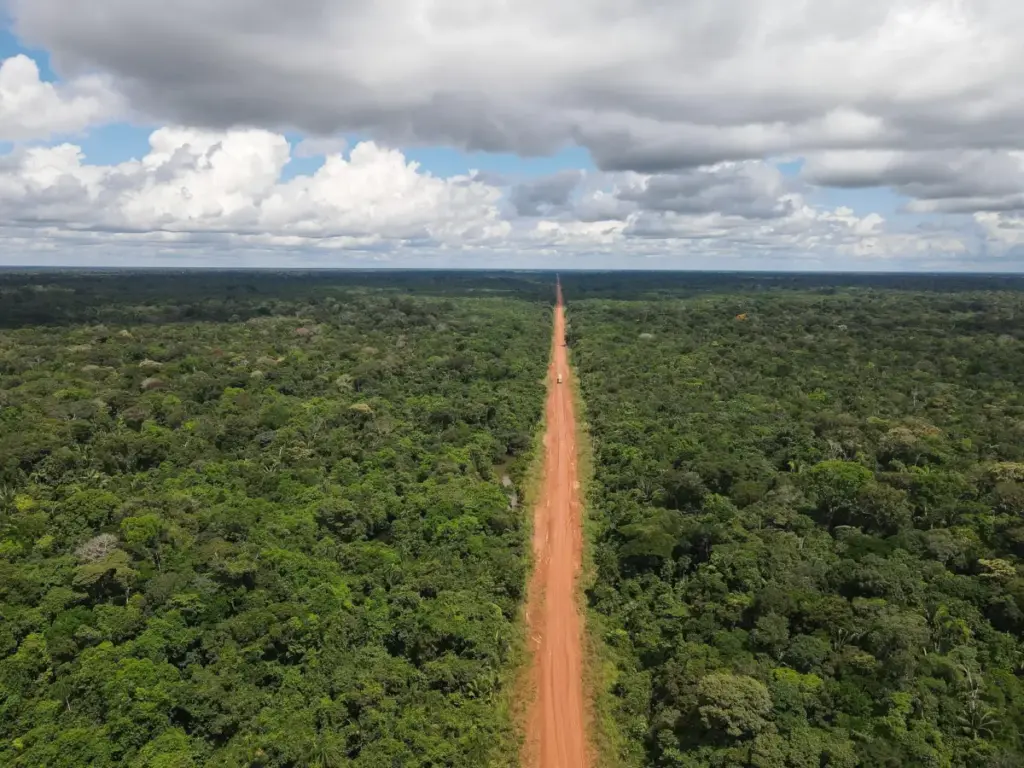
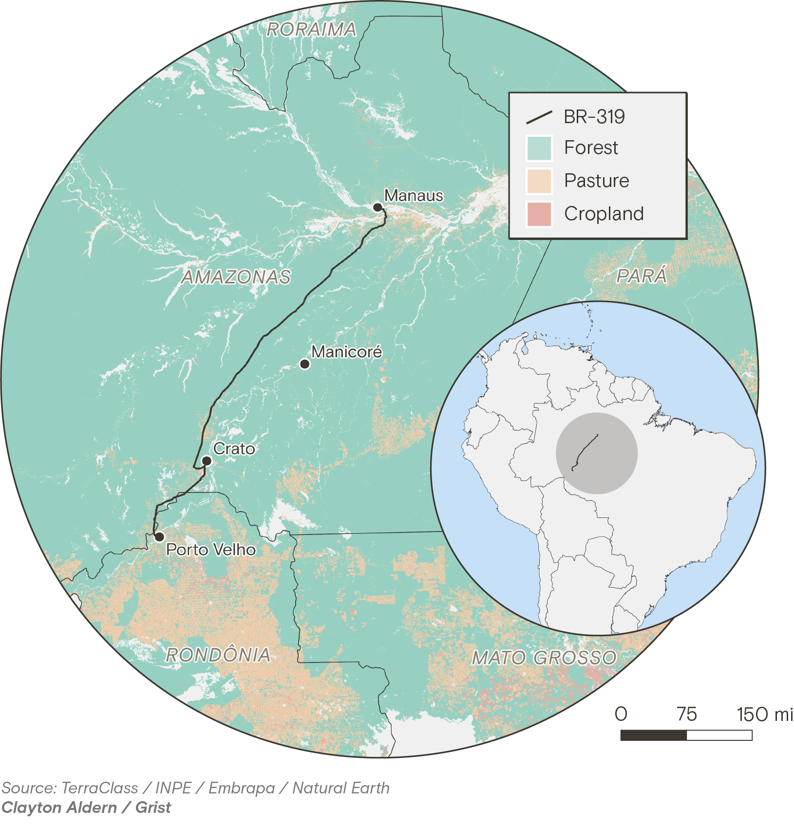
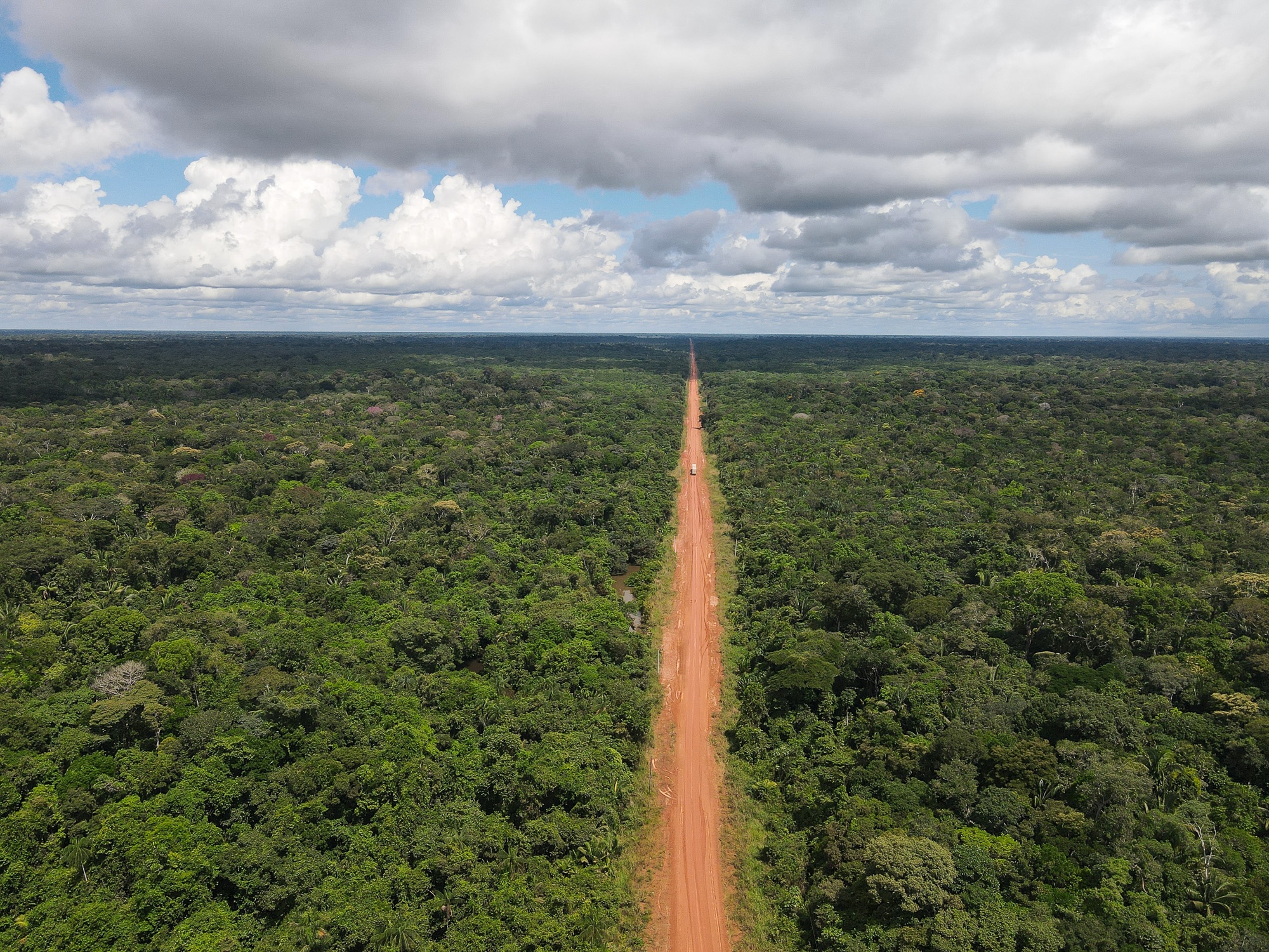
For decades, the BR-319 has served as a crucible for the human and environmental pressures colliding inside the Amazon rainforest. Stretching 540 miles through dense, remote terrain, it is the sole overland link connecting the vast state of Amazonas—an isolated territory twice the size of Texas and home to 4.2 million people—to the rest of Brazil.
Yet, for much of its history, this artery has been less of a highway and more of a survival test. Plagued by seasonal rains that turn the route into miles of thick, impassable mud and massive craters, the journey can strand truck drivers for weeks, forcing them to ration food and water while jaguars and tapirs cross their paths.
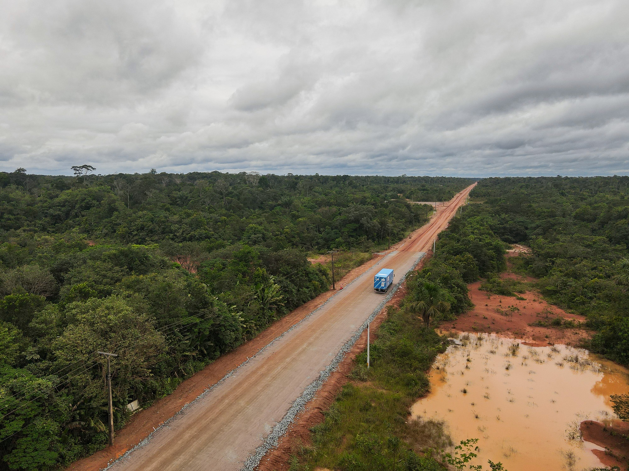
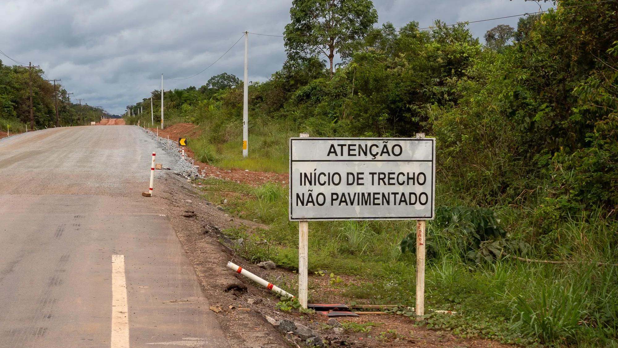
Now, after decades of fierce legal battles, regulatory standoffs, and intense political maneuvering, the Brazilian government is moving forward with plans to fully asphalt the BR-319. Proponents frame the project as a long-overdue economic lifeline for an isolated region plagued by high shipping costs, logistical vulnerabilities, and poor development metrics.
Conversely, scientists, environmental groups, and Indigenous coalitions warn that paving the highway will unlock previously inaccessible segments of the central Amazon, triggering a catastrophic wave of deforestation. Because the biome stores an estimated 150 to 200 billion tons of carbon in its trees and soils, widespread clearing threatens not only regional ecosystems and Indigenous survival, but global climate stability.
Detailed Chronology: A Journey Down the BR-319
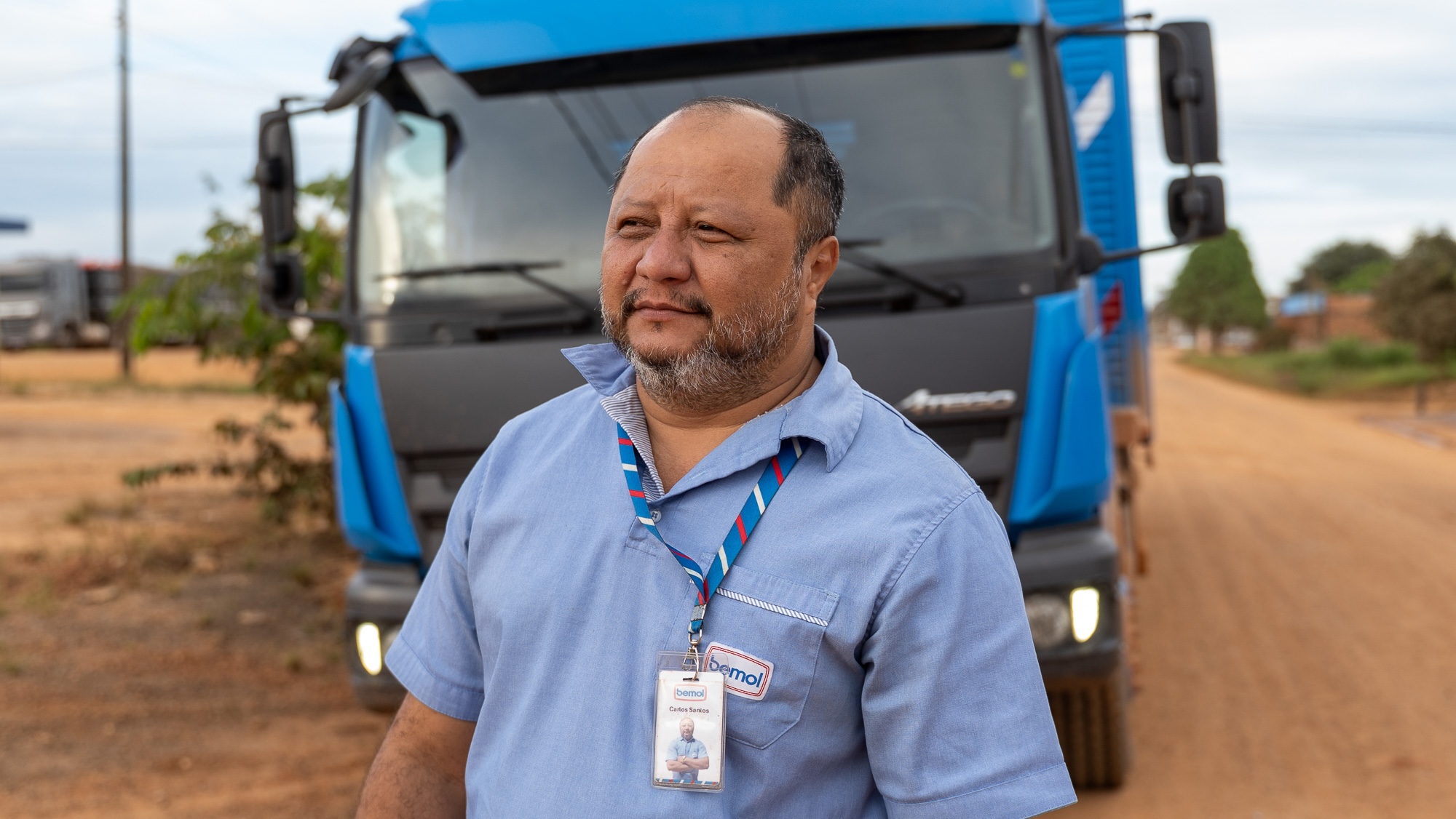
To understand the stakes of the BR-319, one must trace its path alongside those who navigate its hazards daily. Carlos Santos, a 45-year-old truck driver who has worked the route since 2015, offers a window into the reality of the road.
Setting Off from Manaus
The journey begins at 3:00 a.m. at a distribution center on the outskirts of Manaus, the capital of Amazonas. Home to over two million people, Manaus is a major manufacturing hub fueled by tax incentives established in the 1960s. Because land transit is notoriously difficult, the vast majority of goods enter and leave the city via boat or air. Proponents of the BR-319 argue that this dependency spikes delivery times and costs, leaving the population vulnerable when severe droughts disrupt river navigation.
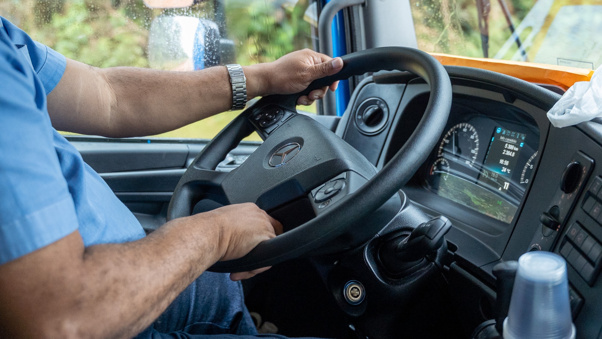
Santos and a reporting team departed in an immaculate, bright blue semi-truck carrying kitchen appliances, furniture, and medicine toward Porto Velho, the capital of Rondônia, at the southern terminus of the highway.
The route begins with a ferry crossing of the Rio Negro, passing the iconic "meeting of the waters," where the dark, Coca-Cola-colored Rio Negro flows side-by-side with the murky brown Solimões without mixing. Once off the ferry, travelers encounter 120 miles of aging, potholed asphalt—the remnants of the highway’s original construction.
The Transformation of Careiro
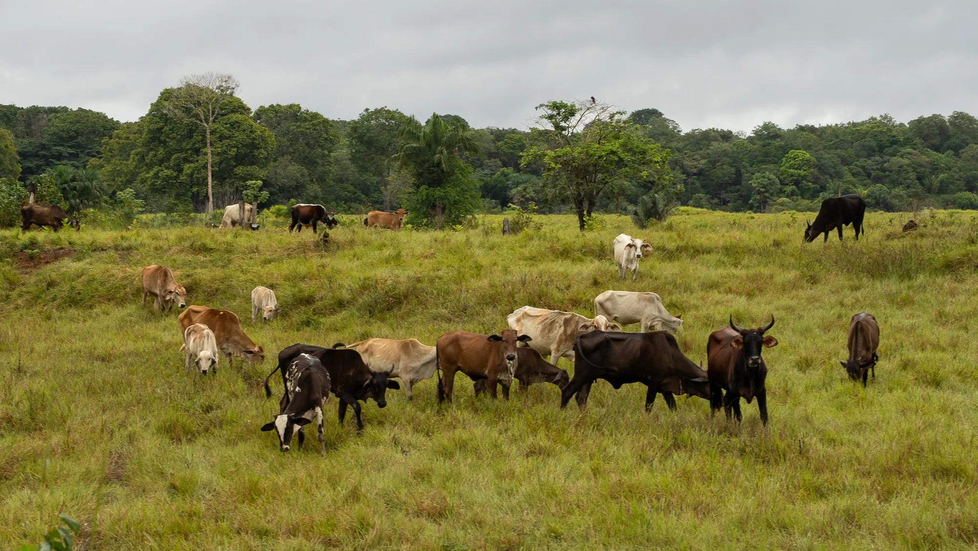
In the district of Careiro, the landscape transitions between fragmented forest and growing cattle pasture, dotted with modest homes.
"Houses used to be a rare sight," Santos recalled. "You’d see one here and another way off in the distance. Not anymore."
This pattern matches the classic blueprint of Amazonian deforestation. First, speculators and illegal loggers target public land. Once valuable timber is extracted, ranchers move in, establishing pastures and grazing livestock. Eventually, occupants petition the government for formal land titles, which skyrocket in value once a road is paved.
The Transition to Dirt and Mud
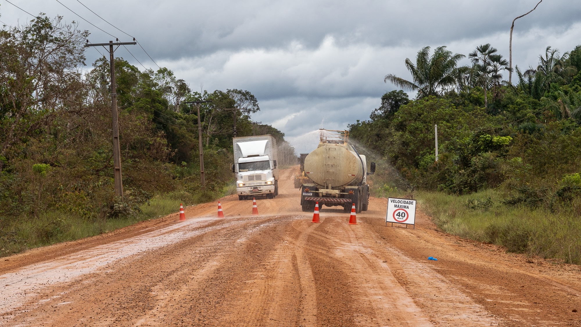
As the old asphalt fades, the road turns into a reddish, iron-rich clay that is rock-hard in the dry season and slick as ice in the wet season. The constant pounding of heavy trucks forms rigid ripples known locally as "cow ribs," which relentlessly rattle vehicles.
Despite these hazards, infrastructure conditions have improved dramatically in recent years. Daily maintenance crews flatten terrain, lay gravel, and repair bridges. While the road is still unpaved, these improvements have encouraged transport companies to dispatch goods from as far away as São Paulo, 2,400 miles to the south.
The Outpost of Iguapó-Açu and Realidade
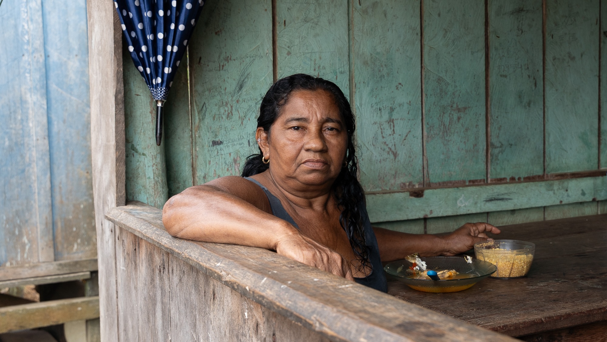
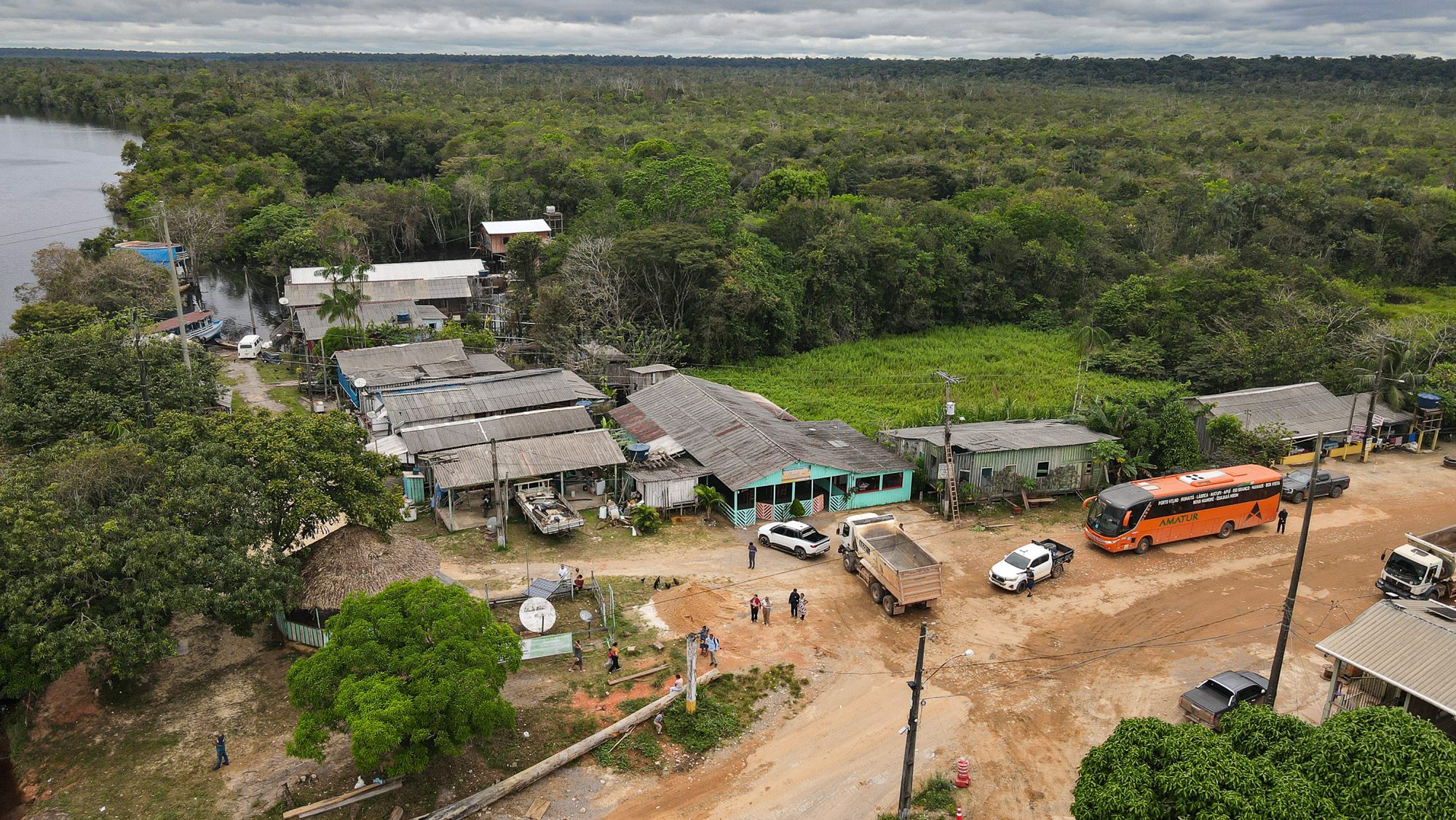
Roughly eight hours into the trip lies Iguapó-Açu, a settlement of stilt houses serving as a final rest stop before the 250-mile middle stretch of dense, uninhabited forest. Local residents, such as 53-year-old Raimunda de Sá Assunção, remember when the road was fully paved in the 1970s and subsequent decades of decay.
Farther down the line sits Realidade, a boom town whose population surged from 800 in 2010 to 7,000 today. Operating largely without a police presence or robust public services, Realidade functions as a frontier hub for cattle ranching, illegal logging, and land speculation. Sawmills and supply stores line the route, illustrating how human settlement and economic exploitation consistently outpace state regulation along the Amazonian frontier.
Supporting Context & Metrics: The Roots of Deforestation
The history of Amazonian deforestation is inextricably linked to road-building.
- The Legacy of the 1970s: During the military dictatorship, Brazil launched an aggressive campaign to settle the Amazon by cutting major highways through the jungle. Since then, an area roughly the size of Spain has been deforested.
- The "Road Effect": Research shows that 94 percent of Amazonian deforestation occurs within three miles of a road. Often, the mere announcement of a paving project is enough to spike regional land-clearing.
- The Bolsonaro Spike: When Jair Bolsonaro assumed the presidency in 2018 and dismantled environmental protections, he championed the immediate paving of the BR-319. Between 2020 and 2022, this single policy drove a 122 percent surge in deforestation in the surrounding area, outpacing the rest of the biome.
- The "Fishbone" Phenomenon: Paved and unpaved highways act as central spines from which illegal secondary roads—opened by loggers, miners, and land-grabbers—branch out. Satellite data shows that the BR-319 already features more miles of unauthorized side roads than the length of the highway itself.
- Carbon and Climate Impacts: Modeling led by researchers like Britaldo Soares-Filho indicates that fully asphalting the BR-319 will drive large-scale deforestation, releasing billions of tons of carbon dioxide into the atmosphere by 2050. Scientists warn this could push the entire Amazon biome past a dangerous tipping point, disrupting vital hydrological cycles—known as "flying rivers"—that supply water to major metropolitan areas like São Paulo.
Official Statements & Political Turning Points
The legal framework enabling the paving of the BR-319 has shifted through multiple administrations:
- Legislative Action: Following federal court blocks during the Bolsonaro era, Brazil’s pro-agribusiness Congress passed a law in 2025 allowing infrastructure work on existing roads to bypass strict environmental licensing. Although President Luiz Inácio Lula da Silva attempted partial vetoes, Congress overrode them. By May of that year, the Ministry of Transportation opened bidding for paving contracts.
- The Lula Administration’s Balancing Act: President Lula, who campaigned on a pledge to end Amazon deforestation by 2030 alongside environmental icon Marina Silva, faces immense political pressure. Failing to pave the road risks alienating voters in Amazonas, where polls indicate that roughly 90 percent of residents support asphalting to escape economic isolation.
- The Government’s Safeguard Pledges: In response to environmental pushback, the federal government announced plans to dedicate a portion of the R$1.5 billion ($300 million) construction budget to environmental governance. Measures include wildlife bridges, monitoring stations, and protected zones. However, critics note these protections are still being drafted while paving actively moves forward.
- Creation of Reserves: In September, President Lula announced the creation of four protected areas encompassing 2,600 square miles around the corridor—falling well short of the 14,000 square miles initially discussed in closed-door meetings. Civil society coordinators, such as Suely Araújo of the Climate Observatory, have criticized these measures as insufficient, noting that enforcement agencies like IBAMA remain chronically understaffed and lack a physical presence along the route.
Future Outlook: The Human and Environmental Stakeholders
As the BR-319 transitions from a rugged dirt track into a modern asphalt highway, its future remains a battleground of competing visions for the Amazon.
The Indigenous Toll
Sixty-nine Indigenous territories, comprising at least 18,000 people across 13 distinct ethnicities (including groups in voluntary isolation), fall within the highway’s impact zone. Communities like the Mura people near Lago Capanã Grande have faced escalating threats from land-grabbers, illegal chemical dumping, and unauthorized incursions. Activists argue that the mandatory free, prior, and informed consultation required by law has been systematically ignored.
Economic Isolation vs. Ecological Preservation
Proponents of the highway—including academics and regional business leaders—argue that infrastructure is essential to lift Amazonas out of economic stagnation and reduce deep-seated regional inequality. They contend that isolation reduces access to quality education, healthcare, and economic opportunity.
Conversely, conservationists and Indigenous leaders argue that opening the heart of the Amazon without ironclad, pre-existing enforcement mechanisms is an irreversible mistake.
The resolution of the BR-319 will serve as a definitive test for Brazil: whether the nation can forge a path of sustainable development, or whether the pressures of the frontier will consume the planet’s most critical carbon sink.



