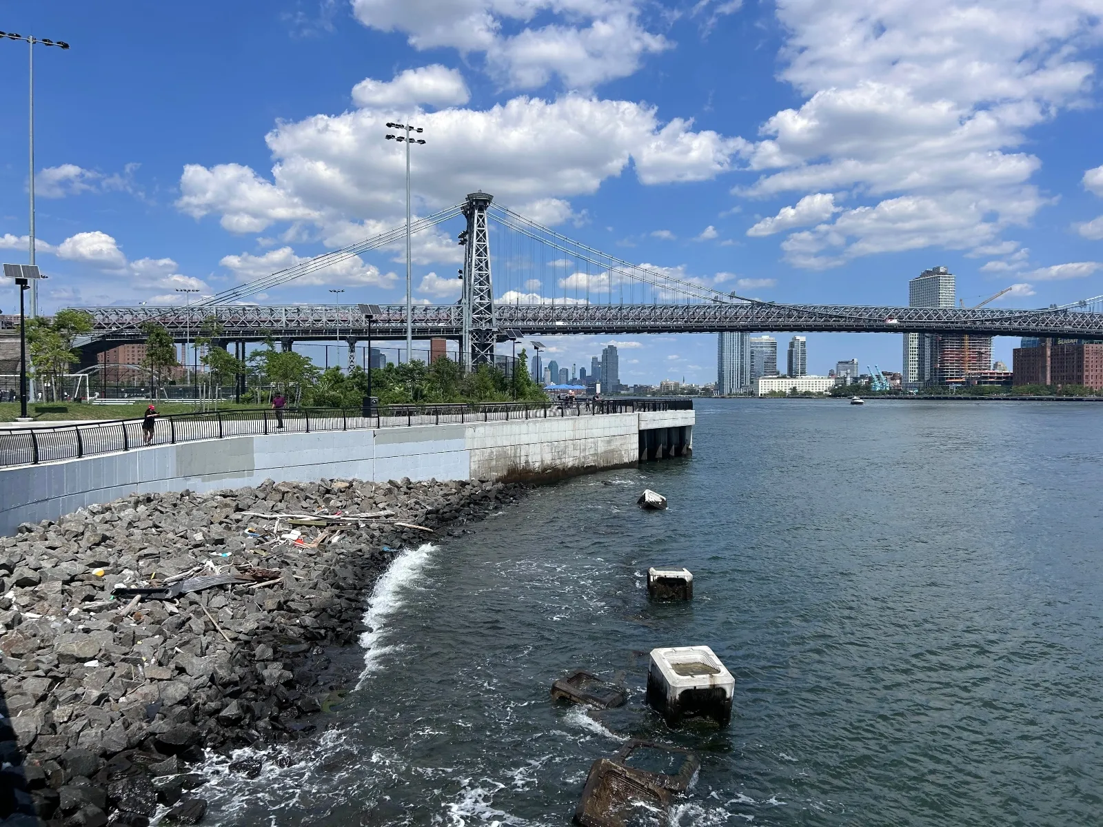
With more than 500 miles of diverse coastline, New York City stands as one of the world’s most prominent urban testaments to the escalating threats of climate change. Home to roughly one million residents and billions of dollars in essential residential and commercial infrastructure, the five boroughs present a uniquely complex patchwork of coastal vulnerabilities. From the marshy ecosystems of southern Queens and the densely populated public housing developments of waterfront Brooklyn to the towering skyscrapers of Manhattan’s Financial District, no two miles of the city’s coastline share the same topography, density, or risk profile.
The catastrophic wake of Superstorm Sandy in 2012 served as an aggressive wake-up call, prompting municipal leaders to launch one of the most ambitious climate adaptation programs in United States history. Billions of dollars have since been funneled into elevating and armoring lower Manhattan with a sophisticated network of berms and deployable flood gates, rebuilding devastated beaches in Queens, and executing strategic home buyouts in the low-lying neighborhoods of Staten Island.
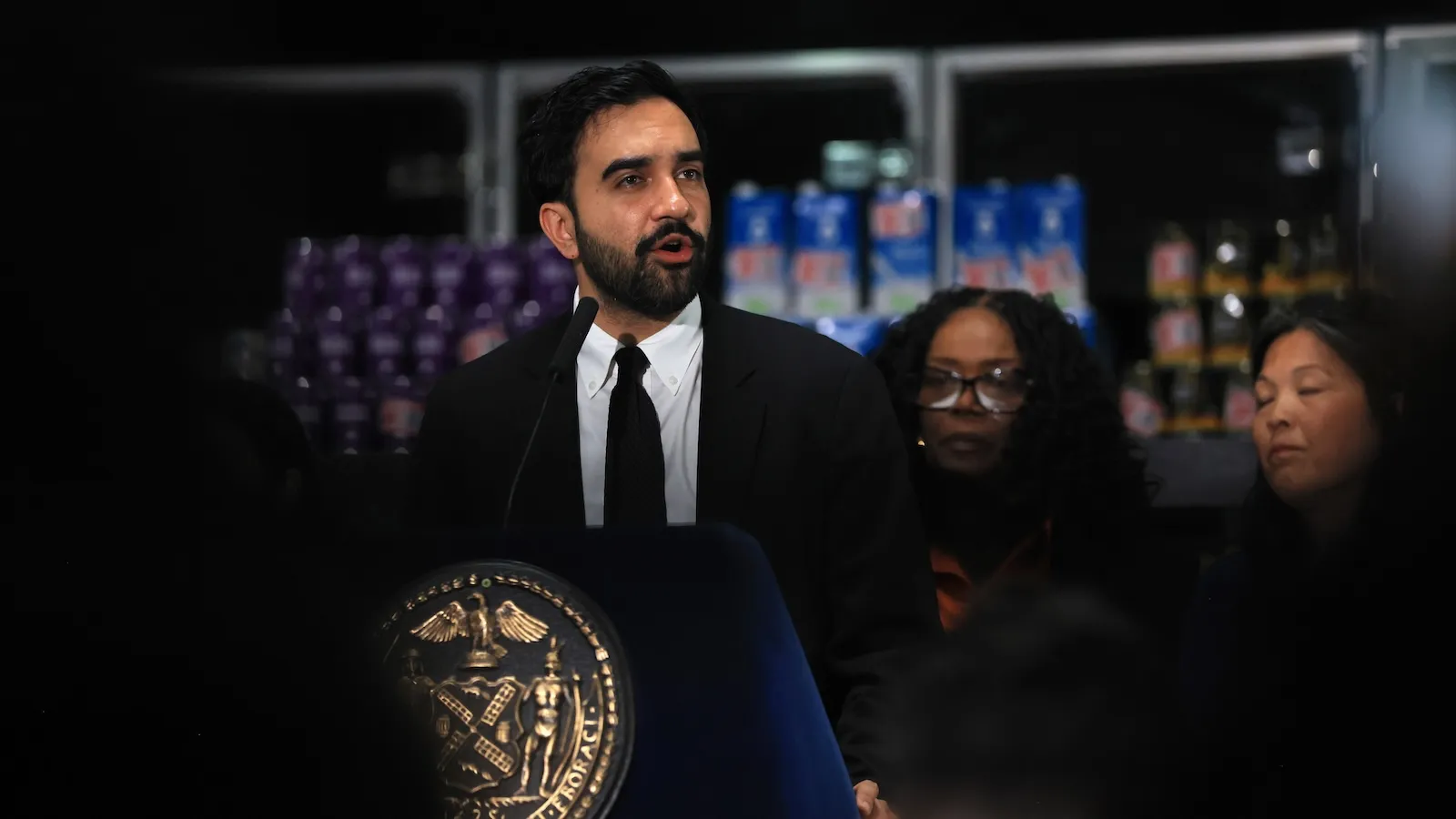
As these post-Sandy engineering marvels approach completion ahead of the 2027 hurricane season, the city faces a daunting new phase of climate defense. Under the administration of Mayor Zohran Mamdani, New York City is actively expanding its Bureau of Coastal Resilience, shifting its focus from construction to long-term maintenance, tactical operations, and comprehensive citywide planning. Yet, the central dilemma remains: with limited capital funds and hundreds of miles of vulnerable coastline, how will the city decide which neighborhoods are protected, which are transformed, and which are left behind?
Detailed Chronology: From Superstorm Sandy to the 2027 Horizon
The trajectory of New York City’s coastal defense strategy is defined by a series of critical milestones, transforming the municipality from a reactive disaster zone into a global laboratory for urban resilience.
The Cataclysm of 2012
In late October 2012, Superstorm Sandy collided with the mid-Atlantic coast, driving an unprecedented 14-foot storm surge directly up New York Harbor. The resulting floodwaters overwhelmed critical infrastructure, inundated subway tunnels, knocked out power grids across lower Manhattan, and compromised thousands of residential structures throughout the five boroughs. The disaster exposed deep systemic vulnerabilities in the city’s waterfront infrastructure, instantly elevating climate adaptation from an abstract policy debate to an existential municipal emergency.
The Post-Sandy Capital Buildout (2013–2026)
In the immediate aftermath of Sandy, federal, state, and local governments mobilized unprecedented funding streams. Architectural and engineering firms drafted sweeping resilience frameworks, such as the Rebuild by Design initiative, aiming to safeguard the city against centennial storm events. Over the next decade, construction crews transformed the urban landscape:
Lower Manhattan: Elevated parks, greenways, and subterranean rolling-track flood walls began replacing traditional, permeable shorelines.
Staten Island: The municipal government initiated targeted property buyouts, purchasing flood-prone homes to return the land to natural, protective salt marshes.
Queens and Brooklyn: Destroyed beachfronts were artificially replenished, and bulkheads were reinforced to absorb wave energy.
The 2027 Operational Milestone and Administrative Pivot
As construction on the final phases of these initial infrastructure projects nears completion, the city has slated the integrated flood defense systems to become fully operational by the 2027 hurricane season. Recognizing that physical barriers require active stewardship, Mayor Zohran Mamdani announced a major expansion of the long-undervalued Bureau of Coastal Resilience, injecting roughly 70 new staff members into the unit to handle gate deployment, maintenance, and pre-storm evacuation protocols. Concurrently, the Department of Environmental Protection (DEP) is preparing to launch a comprehensive master resilience plan next year, with a targeted completion date of 2031.
Supporting Context & Metrics: The Anatomy of Coastal Vulnerability
To understand the immense scope of New York City’s challenge, one must examine the sheer scale and diversity of its maritime geography.
The 520-Mile Frontier
New York City features approximately 520 miles of tidal shoreline. This vast boundary encompasses industrial ports, pristine ecological preserves, high-density residential corridors, and some of the world’s most expensive commercial real estate. However, the physical mechanics of coastal flooding vary wildly by region:
Storm Surge: Driven by hurricanes and nor’easters, storm surges funnel water from the Atlantic Ocean up the constricted channels of the Hudson River, East River, and New York Harbor, threatening high-density commercial centers and subway networks.
"Backdoor" Flooding: In low-lying, estuarine-adjacent neighborhoods like western Coney Island, heavy rainfall routinely coincides with rising tides. Water pushes backward through creeks and outmoded municipal drainage systems, trapping residents and routinely cutting off access to local schools.
The Economics of Adaptation
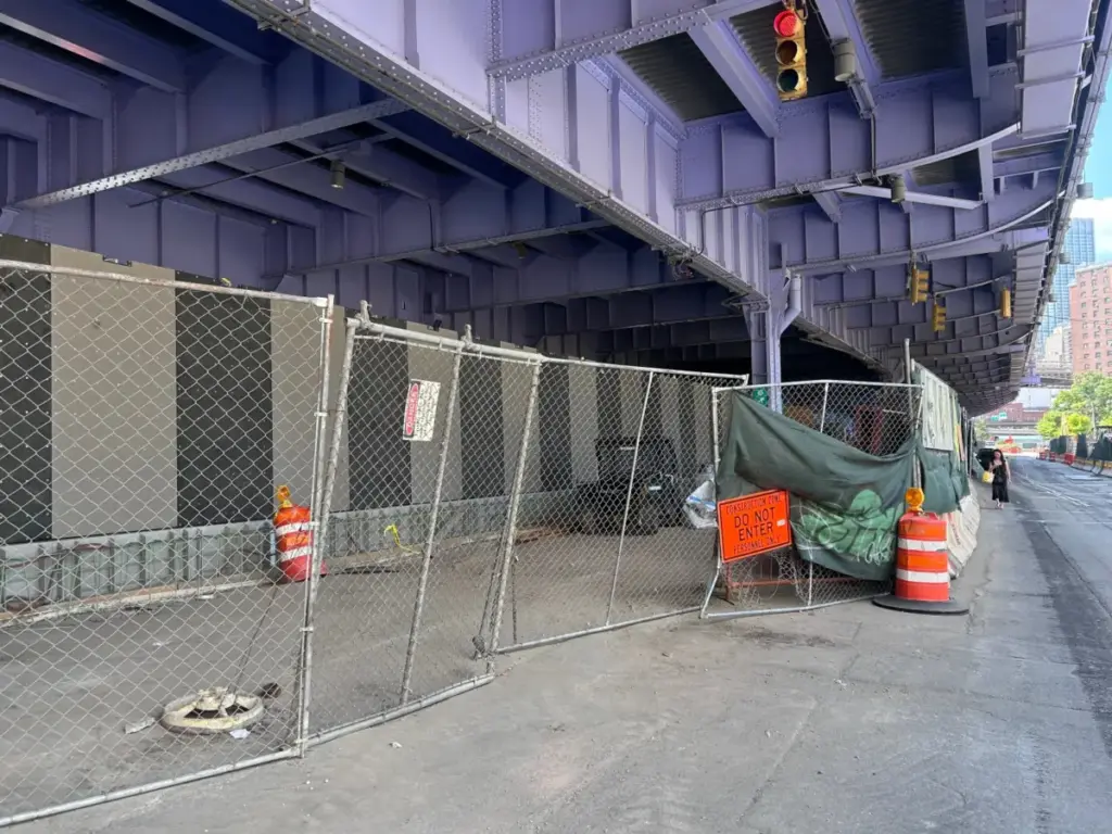
Protecting this sprawling expanse requires staggering capital investments. While projects like the East River Park bulkhead and the downtown Manhattan flood walls cost upward of a billion dollars each, they represent only a fraction of what is needed citywide.
Other high-profile projects have fallen victim to budget constraints. In the Bronx neighborhood of Hunts Point—home to a critical regional food depot—original plans for massive coastal flood barriers were scrapped in favor of a more affordable, decentralized strategy: installing off-grid backup power systems to ensure the food supply chain remains operational during extended power outages. Similarly, long-standing architectural visions for East Harlem, designed to drain pooling stormwater and elevate riverside esplanades, have languished for nearly a decade due to a lack of dedicated capital funding.
Official Statements & Policy Perspectives
The formulation of New York City’s next resilience strategy has brought a diverse coalition of municipal leaders, environmental experts, and community advocates into a high-stakes debate over resource allocation.
Lisa Garcia, commissioner for the Department of Environmental Protection and former director of Grist’s climate solutions lab (2019–2021) as well as an EPA regional administrator, emphasized the operational realities facing the new administration:
"There was this huge investment of over a billion dollars to build these gates, and once you build it, you have to maintain it. I don’t think that there’s anyone who is saying we can protect all 520 miles of coastline. So part of it is this: What lessons can we take to other boroughs or to other communities?"
Garcia’s perspective underscores a painful mathematical truth for municipal planners: universal defense is financially and logistically impossible. Consequently, the city must determine which areas receive hard engineering, which receive nature-based living shorelines, and which may ultimately require managed retreat.
Community leaders, however, voice deep frustration over historical funding imbalances. Pamela Pettyjohn, founder of the Coney Island Beautification Project, highlighted the disparity in municipal investment:
"After Sandy, neighborhoods in Manhattan had millions and millions of dollars invested. There hasn’t been any investment at all in Coney Island other than development — a lot of new development, new buildings, but nothing for the infrastructure."
From the perspective of architectural planners like Matthijs Bouw of One Architecture—the firm instrumental in designing the lower Manhattan flood barrier—piecemeal defense strategies are inherently flawed:
"You can’t build this stuff in isolation, you need to find a way to make sure that you align whatever you design with the way the city changes over time."
Amy Chester, director of Rebuild by Design, echoed these sentiments regarding the prioritization dilemma:
"We can plan for it, but it’s all about priorities."
Future Outlook: Navigating Politics, Equity, and the 2031 Master Plan
As Mayor Mamdani charts the city’s long-term climate adaptation path, he navigates a landscape fraught with political, economic, and social friction. Mamdani assumed office after building a powerful electoral coalition centered on the lower-income neighborhoods of the outer boroughs, campaigning heavily on promises of urban affordability and equity for working-class New Yorkers.
This political mandate intersects awkwardly with the harsh economics of climate resilience. In cities like Norfolk, Virginia, municipal master plans have explicitly designated low-value, high-risk coastal zones ("yellow zones") for managed retreat rather than expensive structural protection, sparking fierce debates over environmental justice. Similar community pushback has erupted in California and North Carolina, where residents reject government-backed retreat policies in favor of hard engineering.
New York City is already experiencing these localized conflicts:
Red Hook, Brooklyn: Ground was broken on a street-elevation and bulkhead project designed to protect against "10-year storms" (storms with a 10 percent annual probability). Local residents and activists have strongly criticized the initiative as inadequate compared to the "100-year storm" defenses built in Lower Manhattan. City officials maintain that local topography and privately owned waterfront property preclude massive barriers.
Greenpoint, Brooklyn: Real estate developers proposing a 1,300-home apartment complex plan to utilize steel bulkheads to protect the new towers. Local activists have protested that these private interventions will displace flood risks onto surrounding, less-protected blocks.
The Road to 2031
With the DEP’s comprehensive master plan slated to begin next year and conclude by 2031, the Mamdani administration faces the ultimate test of urban governance. Unlike the post-Sandy era—when Lower Manhattan’s dense concentration of financial skyscrapers and public housing made it an undisputed first priority—the next phase requires difficult, politically sensitive trade-offs.
Deciding whether to fund salt marsh restoration in outer Queens, a protective waterfront park in Harlem, or steel bulkheads in Brooklyn will define the resilience of New York City for generations. Ultimately, the city’s success will depend not just on the strength of its steel gates and concrete berms, but on its ability to forge an equitable, cohesive adaptation strategy that protects all of its diverse coastal communities before the next major storm arrives.